Pickup from the MultiMarket store (free)
A free, most convenient and comfortable way to pick up the ordered goods at a time convenient for you, with the opportunity to receive the most detailed advice and additional services in a clean, bright room where you are always a welcome visitor.
- Place an order on the MultiMarket website or by phone (067)724-18-02.
- When placing an order, select the delivery method: Pickup from the MultiMarket store (free).
- Choose a MultiMarket store where it will be convenient for you to receive your order.
- The order number, date and time of receipt will be indicated in the e-mail notification or this information will be provided by the store manager. Delivery is free.
- Pick up your order in the store by paying by card or cash.
At the Nova Poshta branch
Receipt of goods at the Nova Poshta branch in accordance with the carrier's terms and conditions.
- Place an order on the MultiMarket website or by phone (067)724-18-02.
- When placing an order, select the delivery method: At the Nova Poshta branch.
- The express invoice number will be indicated in the e-mail notification and the Nova Poshta application.
- Track the status of your parcel on the Nova Poshta website and the Nova Poshta application. After the parcel arrives at the delivery point, you will receive a corresponding notification.
- Receive the parcel at the point of issue (a passport or other identification document is required).
- Check the functionality of the product on site.
- Pay the cost of the order to the Nova Poshta courier.
- Pay the delivery cost to the operator.
Courier "Nova Poshta"
Receipt of goods by courier "Nova Poshta" in accordance with the carrier's terms and conditions.
- Place an order on the MultiMarket website or by phone (067)724-18-02.
- When placing an order, select the delivery method: Nova Poshta Courier.
- The express invoice number will be indicated in the e-mail notification and the Nova Poshta application.
- Track the status of your parcel on the Nova Poshta website and the Nova Poshta application. After the parcel arrives at the delivery point, you will receive a corresponding notification.
- Receive the parcel at the point of issue (a passport or other identification document is required).
- Check the functionality of the product on site.
- Pay the cost of the order to the Nova Poshta courier.
- Pay the delivery cost to the Nova Poshta courier.
At the parcel terminal "Nova Poshta"
Receiving goods at the Nova Poshta parcel terminal in accordance with the carrier's terms and conditions.
- Place an order on the MultiMarket website or by phone (067)724-18-02.
- When placing an order, select the delivery method: To the Nova Poshta parcel terminal.
- Pay the cost of goods and delivery on the MultiMarket website.
- The express invoice number will be indicated in the e-mail notification and the Nova Poshta application.
- Track the status of your parcel on the Nova Poshta website and the Nova Poshta application. After the parcel arrives at the delivery point, you will receive a corresponding notification.
- Receive your parcel at the Nova Poshta parcel terminal.
Note: The delivery time is determined at the time of ordering on the website, but may depend on the Nova Poshta delivery schedule to your region.
Note: If you pay for your order by bank transfer, the delivery time may differ from that indicated on the website; you can check this period with our manager at the time of placing your order.
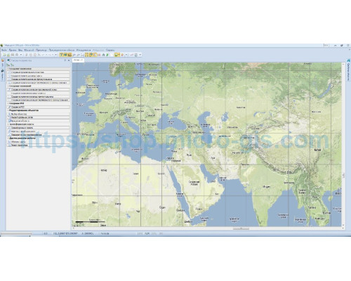
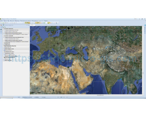
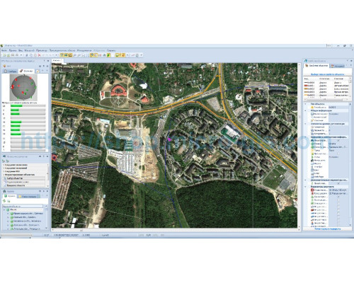
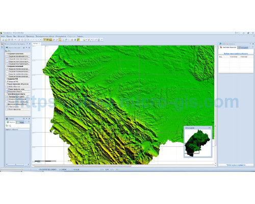
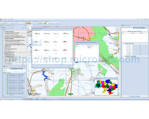
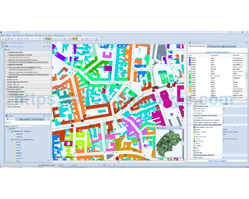



Одним з найбільших переваг MicroGISEditor є його інтуїтивно зрозумілий і простий у використанні інтерфейс. Навіть якщо ви новачок в географічних інформаційних системах, ви зможете легко знайти необхідні функції і виконувати редагування без проблем. Крім того, програма пропонує багато корисних функцій, таких як розмиття, масштабування та обрізка, що значно полегшує роботу з географічними даними.
Додатково, MicroGISEditor підтримує багато різних форматів географічних даних, таких як Shapefile, GeoJSON і KML, що дозволяє зручно працювати з різними типами даних. Також, функція імпорту та експорту дозволяє легко обмінюватися даними з іншими користувачами програми.
У програмі також є велика кількість інструментів редагування, таких як переміщення точок, малювання полігонів та ліній, редагування атрибутів і багато інших. Якщо вам потрібно редагувати складні географічні об'єкти, MicroGISEditor надасть все необхідне для цього.
Окрім того, розробник програми надає відмінну підтримку користувачам. Я мав декілька запитань щодо функцій програми, і отримав швидкі та детальні відповіді від команди підтримки. Це значно полегшує використання програми та вирішення будь-яких можливих проблем.
Загалом, MicroGISEditor v1.x персональна ліцензія є незамінним інструмент та найкращим вибором для всіх, хто працює з географічними даними. Його простота використання, багатий функціонал та відмінна підтримка роблять його важливим компаньйоном для будь-якого професіонала. Не можу належним чином висловити своє задоволення від цієї програми та рекомендувати її всім.